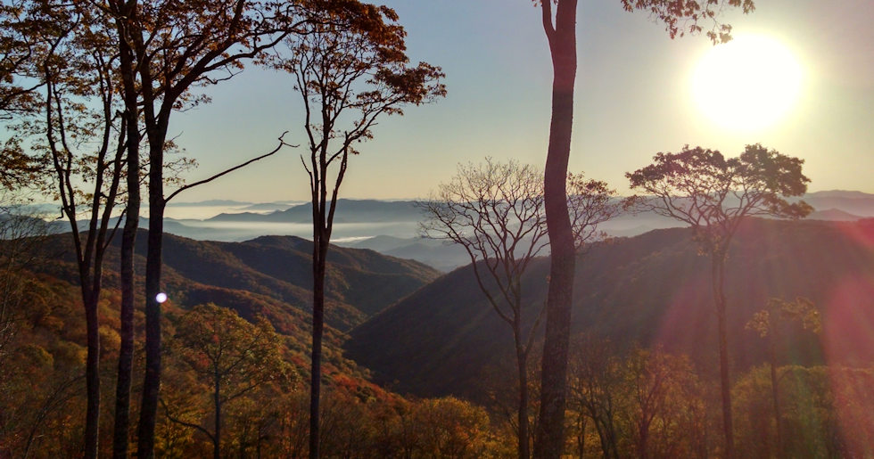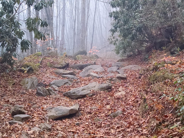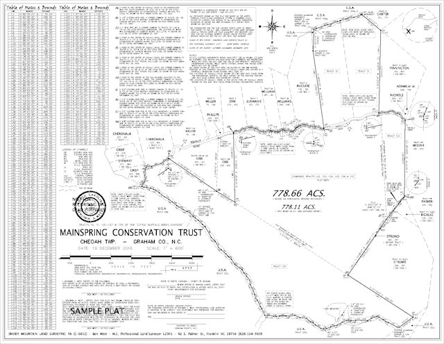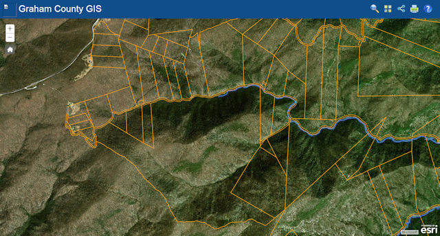
This is our website’s home page image and the first view the survey crew had of the 800 acre parcel we surveyed in Graham County just off the Cherohala Skyway for Mainspring Conservation Trust. My crew and I left our Franklin office that morning at 6am, met another member of our survey party in Robbinsville at 7, continued on for another hour then walked about a quarter mile for this view.
I think it was well worth the trip. The 800 acres lies on the south side of the historically significant Hooper Bald once owned by Dr. Enos Hooper (1796-1872), a destination that, in my youth, was a difficult place to get to. Prior to the completion of the Cherohala Skyway in 1996, long before the time when all teenagers had 4-wheel drive pickups or ATV’s, about the only way there was by foot, jeep or dirt bike.
If you haven’t driven the Cherohala Skyway or hiked to the Hooper Bald and nearby Oak Knob, you’ve missed some of the best Western North Carolina has to offer.
Much of our time spent surveying the 800 acre Mainspring parcel was during the time that Western North Carolina was experiencing its worst ever recorded wildfire season. Over 50,000 acres burned that season making the work and visibility difficult. The Maple Springs and Old Roughy Fires combined to burn 7800 acres, including parts of the nearby Joyce Kilmer Forest.


You must be logged in to post a comment.